Walk the Yorke
A 500-kilometre coastal trail circling the peninsula.
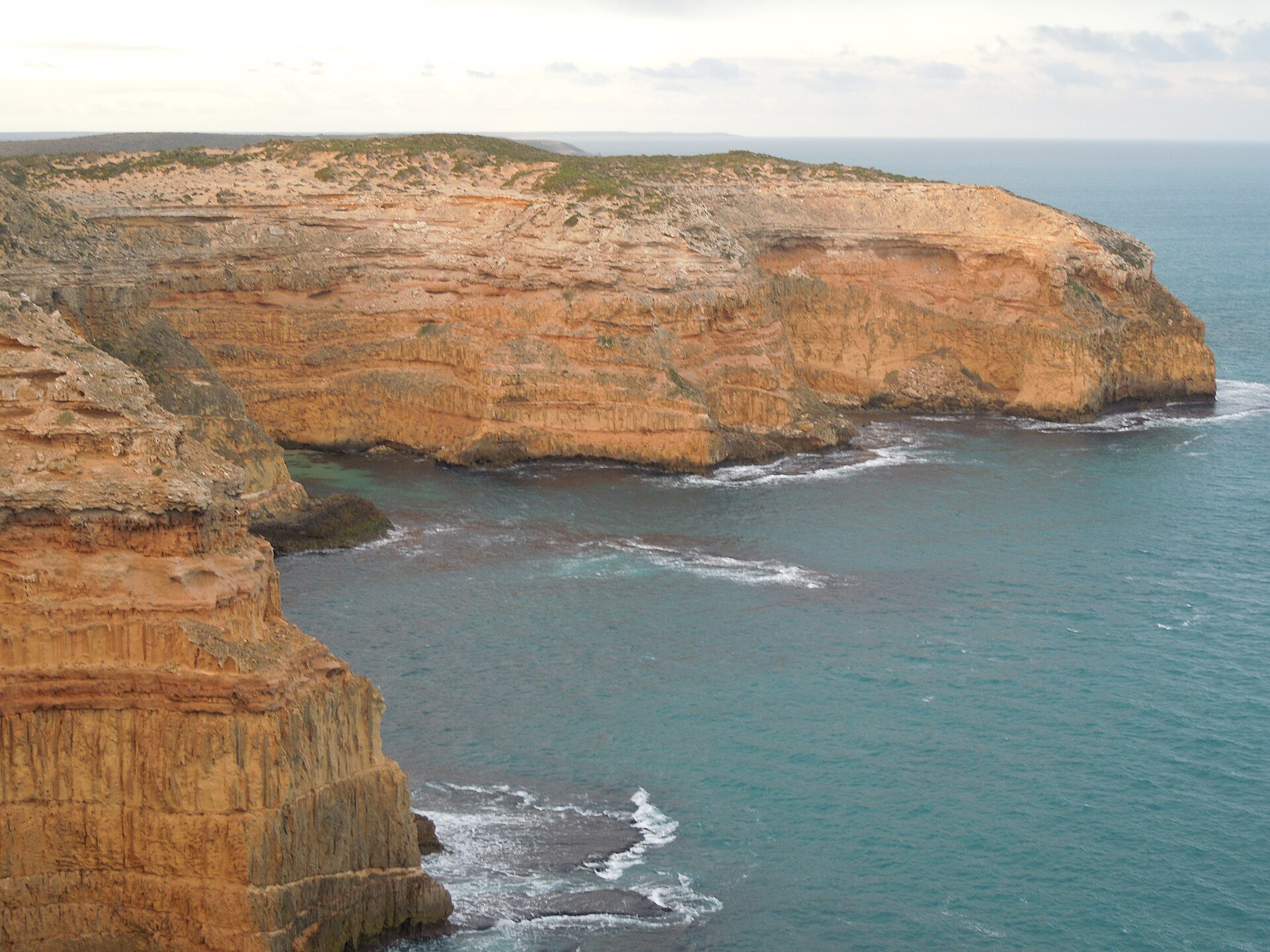
A signposted 500-kilometre walking and cycling trail that hugs the coastline all the way around Yorke Peninsula.
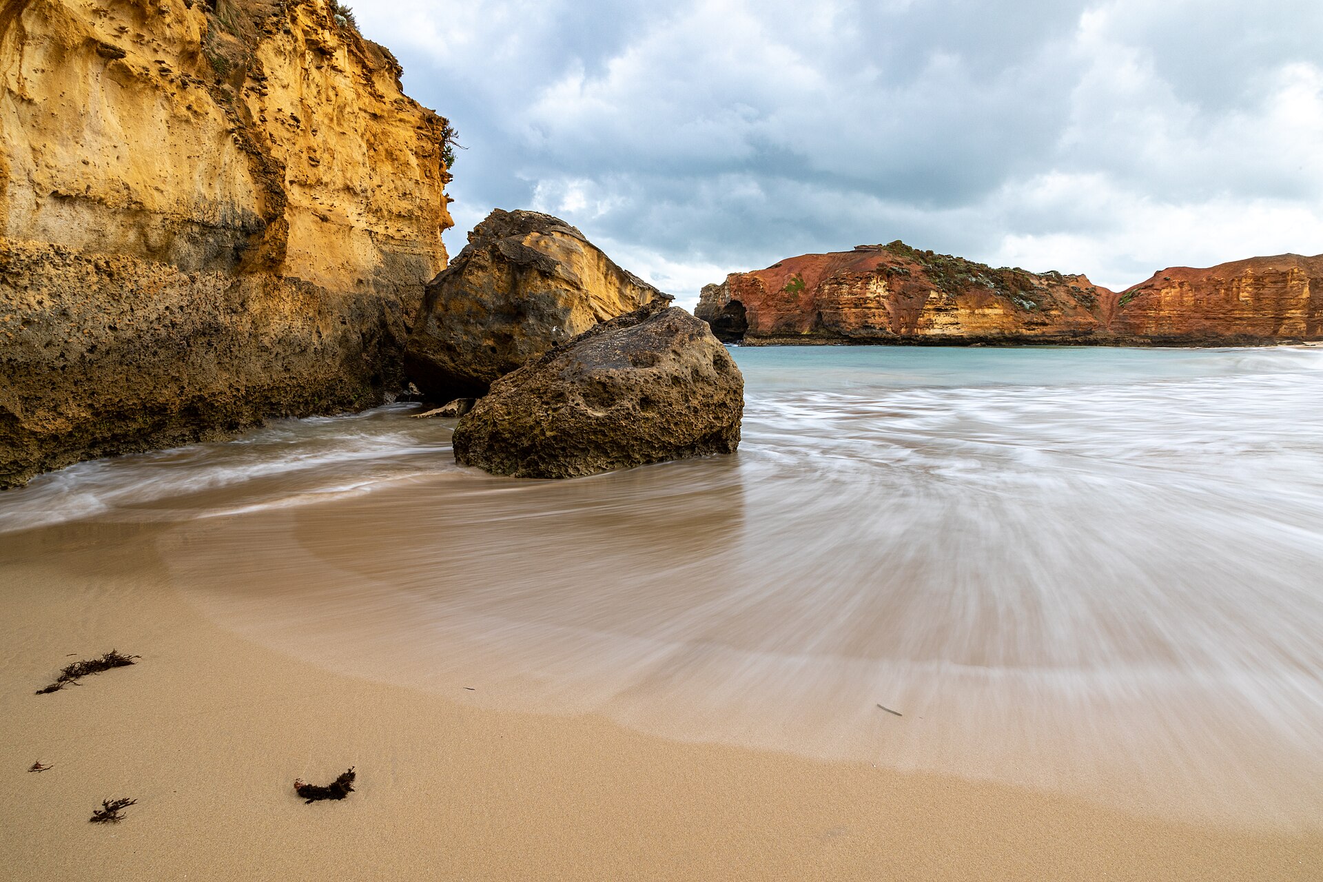
Walk the Yorke is an epic 500-kilometre trail that traces almost the entire coastline of the peninsula, from Port Wakefield around the bottom of Yorke and back up the gulf. Divided into manageable stages for walkers, cyclists and, in places, horse riders, it links beaches, jetties, clifftops, towns and national park. Whether you tackle a single seaside section or the whole loop, it is the definitive way to experience the peninsula's coast on foot.
Find it on the map
Got a photo of Walk the Yorke?
Share your best shot. If we use it in the gallery, you'll be credited by name. Photos are reviewed before going live.
Last verified 1 month ago
You might also like
Similar experiences across Yorke Peninsula

Walk the Yorke - frequently asked questions
How long is the Walk the Yorke trail?
Walk the Yorke is a purpose-built trail of around 500 kilometres that follows the coastline around much of Yorke Peninsula.
When was Walk the Yorke established?
The trail was established in 2015 as a multi-day walking and cycling route created to bring outdoor tourism to Yorke Peninsula.
Is Walk the Yorke suitable for cycling?
Yes. Walk the Yorke is designed for both walkers and cyclists, who mostly share the same trails, and it is broken into day sections suitable for a range of abilities.
Image credits
- Cliffs at Innes National Park.jpg by Julia Alessio , CC BY-SA 4.0 via Wikimedia Commons